Department of the Surveyor General
Zimbabwe National eCadastre
- Problem
- Zimbabwe's cadastral record was paper-based and fragmented. A surveyor lodging a diagram, an examiner checking it and a citizen searching a title were all working from different copies of the truth, and none of them could query it spatially. Worse, the registers that had to agree with each other — deeds, mining, the investment one-stop shop — had no way to talk at all.
- Approach
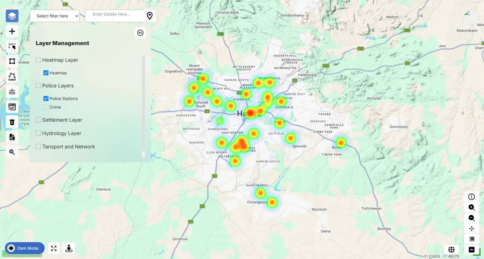
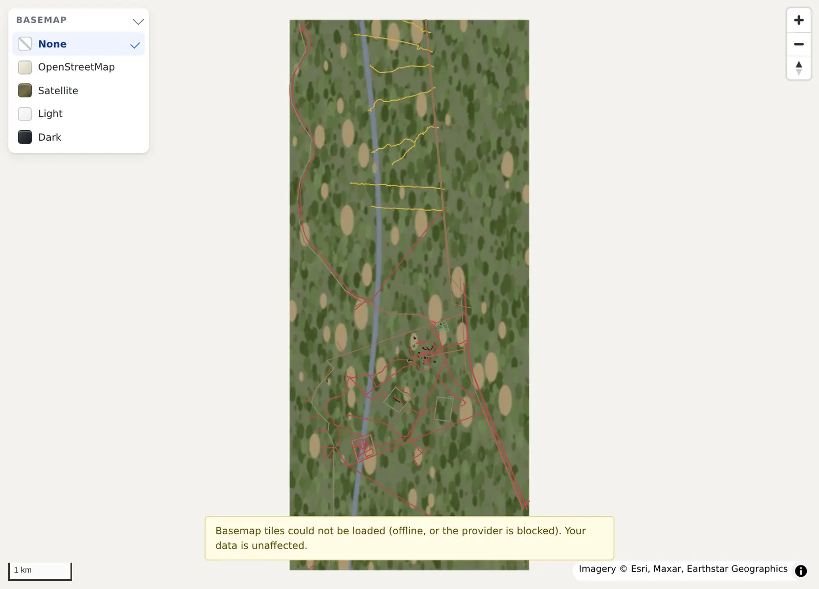
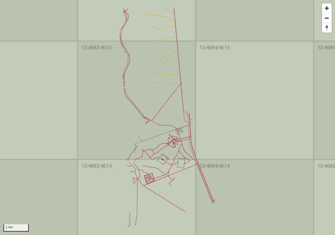
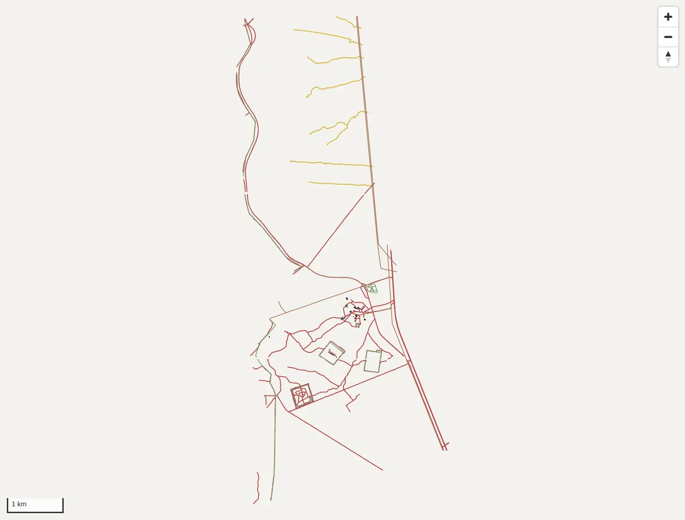
- A national digital cadastre: PostGIS geodatabases designed end to end, the statutory lodgement-to-examination workflow modelled in GeoDjango, geodesy control layers, and authoritative parcel layers published as OGC services through GeoServer and consumed in OpenLayers. Bulk ingest of legacy records with geometric and topological validation, so examiners work from exceptions rather than reading every submission. I designed and built every API, and the integrations that put the eCadastre in conversation with the Deeds system, the One Stop Shop and the Mining Cadastre.
- Outcome
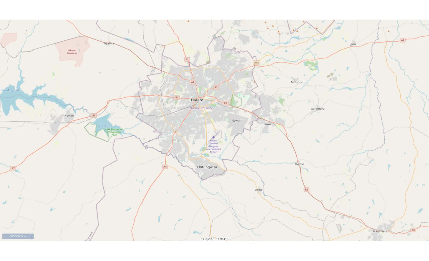
- Live in production and in daily use by surveyors, examiners and the public, serving property search, e-maps, cadastral and geodetic services. I owned the spatial architecture — schema, validation rules and service layer — and the integration layer across four national registers, as part of a team of five-plus developers.
Live
Status
In daily production use
4 registers
Integrations
Deeds, One Stop Shop, Mining Cadastre
Designed & built
APIs
The whole integration layer
GeoDjangoPostGISGeoServerREST APIsSystem integrationOpenLayers
2022 — present